
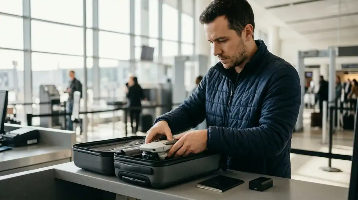
Drone travel rules decide whether you can actually fly your drone once you arrive, and they change from one country to the next. Permission to carry a drone on a flight does not mean permission to fly it after landing, and clearing airport security says nothing about whether a flight is allowed. Rules can even shift within a single country, so a drone that is welcome in one city park may be banned in the next. In the United States, recreational flyers generally follow Federal Aviation Administration registration rules, which cost $5 and stay valid for three years. A drone weighing less than 250 grams can skip registration, but only when it is flown under the Exception for Limited Recreational Operations.
Before flying in the U.S., you must pass the free online Recreational UAS Safety Test and keep proof of completion with you. Registered drones also need to comply with Remote ID, the identification system that applies in flight. In U.S. Class G airspace, recreational drones generally may fly no higher than 400 feet above ground level, and they must stay within visual line of sight. Across the European Union, the open category sets a 120-metre altitude limit and asks pilots to respect national drone geographical zones. Some destinations are stricter still. The National Park Service, for example, generally prohibits launching, landing or operating drones on its lands and waters, so check the rules for every stop on your route before you pack.
Key Takeaways
- Permission to carry a drone through airport security is a separate question from whether you may fly it, and the right to fly is decided by the country, region or city where you land.
- Recreational drone pilots in the United States must pass the free online Recreational UAS Safety Test, and travelers should keep proof of completion with them, ideally in a printed copy in their carry-on bag.
- In U.S. Class G airspace, recreational drones generally may fly no higher than 400 feet above ground level, and pilots must keep the aircraft within visual line of sight.
- Across the European Union, the open category sets a 120-metre altitude limit, and pilots must still respect national drone geographical zones that can ban flying a few kilometres away.
- The National Park Service generally prohibits launching, landing or operating drones on its lands and waters, so every traveler should check the rules for each stop on the route before packing the drone.
Can You Fly a Drone on Vacation?
A drone can usually travel with you, but flying it is a separate permission that depends on where you land. Airport security checks the device and its batteries, while the right to fly is decided by the country, and sometimes the region or city, beneath you.
Think of it as two questions. The first is whether you can get the drone through security and onto the plane. The second is whether you may take off in a particular park, beach or town. The answer to the second can change at every border, so a drone that is perfectly legal at home may need paperwork, a certificate or a permit abroad.
Canada is a useful example of how visiting pilots can be treated differently. A foreign pilot flying a drone that weighs 250 grams or more needs a Canadian drone pilot certificate, even if they are authorized to fly at home. Foreign pilots generally cannot register their own drones and may need a Foreign SFOC-RPAS instead. Drones under 250 grams skip both registration and the certificate, except at advertised events, so check the weight printed on your drone’s specifications before you assume anything.
Rules also layer on top of each other. A national framework might be relaxed while a national park, a regional authority or a city adds its own ban. In the European Union, the general open-category framework sets the baseline, but flights must still respect national drone geographical zones, and those zones can differ from one country to the next. A drone that is allowed over an open field in one town can be banned a few kilometres away.
Older European drones need a closer look too. From January 1, 2024, an EU legacy drone without a class-identification label may fly in the A1 subcategory if it weighs less than 250 grams, or in A3 if it weighs less than 25 kilograms. If your drone was bought before the labels existed, confirm which category it falls into before you fly anywhere in the bloc.
Your itinerary matters as much as your destination. Check every country on the route, including stopovers where you leave the airport for a day or two. A layover in a city with strict local rules can cause trouble even if your final destination is relaxed. Look up the rules for each place where you will sleep, not just where you will sightsee.
Once you have the rules in hand, follow a simple routine before you leave home. First, check the national and local rules for every stop. Second, register the drone if the destination requires it, and keep the paperwork with you. Third, complete any required pilot test and carry proof of it. Only then should you pack the drone, so you do not discover a problem with a rule while you are standing on a hotel balcony.
Registration, Remote ID and Pilot Testing in the United States
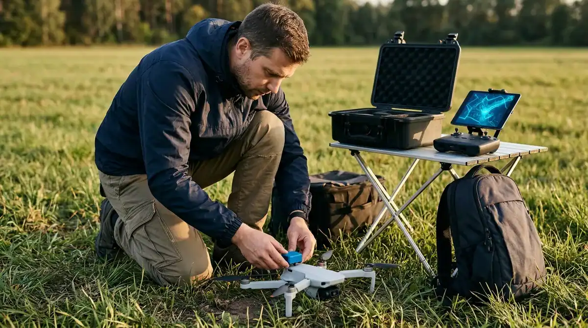
Flying a drone in the United States is governed by federal rules, and they apply to visitors as well as residents. Before your first takeoff, work out whether your flights count as recreational or commercial, because the two follow different paths.
Recreational registration is generous to travelers who carry more than one aircraft. A single recreational registration covers every drone in the owner’s inventory. Part 107 registration, which applies to commercial operators, works differently because it is per drone, so each aircraft needs its own registration.
Lightweight drones can skip registration, but the exemption is narrow. A drone weighing 0.55 pounds, which is less than 250 grams, can be exempt from registration only when it is flown under the Exception for Limited Recreational Operations. Check the weight on the spec sheet before you assume your drone qualifies, because a drone just over the line needs its own registration.
Remote ID applies to any drone that must be registered and to any drone that is registered. Remote ID is the identification system that works while the aircraft is in flight. If you register a drone at home, it still has to meet Remote ID requirements when you fly it on a U.S. trip, so being on vacation does not change the obligation.
Before you fly as a recreational pilot in the U.S., you must pass the Recreational UAS Safety Test, known as TRUST. The test is free and taken online. Once you pass, keep proof of completion with you, because you may be asked to show it during an inspection. A saved copy on your phone is handy, but a printed certificate in your carry-on is a safer backup if your battery dies at a remote trailhead.
A short checklist helps when you are packing for a U.S. trip:
- Confirm the weight of each drone against the 0.55-pound line
- Register any drone that must be registered and note its Remote ID status
- Save your TRUST completion proof where you can reach it offline
- Keep the drone within visual line of sight at all times
Filming for clients is a different matter. If you shoot footage for a tour company, a hotel or a travel brand during your trip, you are no longer flying recreationally, and the commercial rules apply. Part 107 governs commercial drone operations in the U.S., so review its requirements before you accept any paid work, even a small job. A recreational registration and a casual hobby pilot test do not give you permission to earn money from a flight.
Enforcement is taken seriously. In a joint federal statement issued on December 17, 2024, officials reported that more than one million drones were lawfully registered with the FAA, and that the FBI had received tips of more than 5,000 reported drone sightings in the preceding few weeks. Visitors should therefore be ready to show their paperwork.
Pack your registration documents and your TRUST certificate in your carry-on bag, not in checked luggage. That way you can show both at a hotel front desk, to a park employee or to an officer without unpacking your whole suitcase. Keep them together in one folder so you are not hunting for them when someone asks.
Altitude and Line-of-Sight Limits for Travelers
Altitude and line-of-sight limits are the rules you will feel most often once you are in the air. In U.S. Class G airspace, which covers much of the uncontrolled sky away from airports, recreational drones generally may fly no higher than 400 feet above ground level. Recreational flyers must keep the aircraft within visual line of sight, meaning they can see the drone with their own eyes, and they must give way to manned aircraft such as helicopters and small planes.
Picture a typical sightseeing morning in a hillside town. You launch from a viewpoint at dawn to film the rooftops and the harbor below. The drone climbs steadily, but you stop at a height that keeps it well under the 400-foot ceiling, because the higher it goes, the harder it is to judge its position against the sky. When a tour helicopter appears over the ridge, the drone is no longer yours to keep flying. You bring it down and wait until the helicopter has passed.
The same ideas appear in the European Union, though the numbers differ. Under the open category, EASA states that drones must remain in visual line of sight and fly no higher than 120 metres. That is a little under 400 feet, so a drone that is legal in Europe will generally be kept lower than one flown under the U.S. limit. Pilots who move between the two regions should set their habits by the stricter figure rather than the one they used at home.
Altitude and visibility are only part of the picture in Europe. National drone geographical zones sit on top of the general framework, and they can ban or restrict flying even when the altitude and sight rules are met. A cliff path that looks like a perfect place to launch may fall inside a zone set around a military site, an airport or a protected landmark. Check the zone map for each town before you plan a shot, not just the country as a whole.
Older drones need a closer look. From January 1, 2024, an EU legacy drone without a class-identification label may be flown in the A1 subcategory if it weighs less than 250 grams, or in A3 if it weighs less than 25 kilograms. The label system is how the EU sorts modern drones into these categories, so an older aircraft that lacks one needs to be matched to the right category by weight. Check the official EASA document for legacy drones before you fly in the bloc, because that document sets out the conditions for each category.
Visual line of sight also shapes how you film. A coastal walk, a canyon trail or a market square offers dramatic angles, but you need to be able to follow the aircraft without losing it behind a building or a tree line. Many travelers choose a fixed spot with a clear view, keep the drone close enough to see its orientation, and bring it down when the light changes or a crowd gathers. Slower, lower flights are often the most rewarding, because they leave you free to watch the scene unfold instead of staring at a screen.
Finally, the altitude and sight limits are the easiest rules to follow when you plan your day around them. Decide where you will fly before you leave the hotel, note the height you will stay under, and keep an eye out for aircraft as you work. A morning that respects these limits usually means a calmer scene for the people below, fewer interruptions from nearby traffic and footage you can be proud of.
Where Can You Fly Near Airports, Stadiums and Schools?
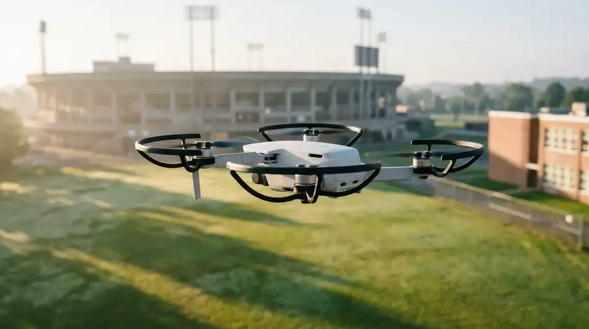
No single distance rule decides where you can fly near airports, stadiums and schools. Each spot has its own airspace status and its own local restrictions, so you have to check the exact place you plan to launch from.
In the United States, many airports sit inside controlled airspace, and drone pilots must obtain FAA airspace authorization before flying there. The classification of the sky above your launch site decides whether you need that approval, not how far you are from the runway. Airport proximity is not governed by a simple universal five-mile rule, so a launch spot that looks far from a runway is not automatically safe, and a spot that sits close to one is not automatically banned. Check the airspace over the precise location you have in mind.
For many recreational pilots, the quickest route to that approval is LAANC, the Low Altitude Authorization and Notification Capability, which offers near-real-time requests. According to the FAA, LAANC is available at 726 airports. Request your authorization before you leave for the field, not when you are already standing at the edge of the runway area with a battery in your hand. If your planned site is not covered, you will need to apply through the FAA’s other channels, and that process takes longer.
Temporary flight restrictions, often called TFRs, are a different kind of limit. They can appear for events, emergencies or security reasons, and they may be issued with little notice. A large sporting event, a parade, a wildfire response or a visit by a high-profile official can all close a stretch of sky for a few hours or several days. An authorization you received last week does not protect you from a restriction published this morning. Check for active restrictions on the day you fly, not only on the day you plan the trip.
Stadium and event buffers add another layer. These no-fly zones are often set by local or state law and can be stricter than federal rules. A federal authorization alone may therefore not let you fly over a ballpark, an arena or a stadium parking lot on a game day. The size and timing of these buffers vary by venue and by event, so there is no single number to memorize. Look up the specific venue and the specific date before you plan a shot near the grounds.
School grounds and critical infrastructure are treated in a similar way. Power stations, water treatment plants, bridges and similar sites are frequently protected by local or state rules, and school grounds can be covered as well. A public park beside an elementary school looks very different at pickup time than it does on a quiet Sunday morning. Even if the sky is open, avoid flying over children, crowds or sensitive facilities, and never let a drone hover above a schoolyard to get a better angle.
A practical checking routine helps you avoid most problems:
– Look up the exact launch site on the official airspace map and note whether it is controlled airspace. – Request any required authorization through LAANC well before you go, and save the approval where you can open it offline. – Search the city or county website for drone ordinances that cover parks, beaches and public property. – Check the state rules for school grounds, stadiums and critical infrastructure near your route. – Look up scheduled events for the day, including sports games, concerts and festivals. – Check for active temporary flight restrictions on the morning you fly, and cancel the flight if one covers your site.
Travelers often focus on the rules that are easiest to remember, but the rules near airports and sensitive sites are the ones most likely to change without warning. Build a short check into your morning routine, and you will know where you can fly before you reach the launch point.
Are National Parks and Protected Areas Off-Limits to Drones?
The National Park Service generally prohibits launching, landing or operating drones on its lands and waters, so in most national parks the answer is no. The rule covers the park system as a whole, and it applies to hobbyists and professional photographers alike.
The National Park Service uses a broad definition. An uncrewed aircraft is any device used or intended for flight without the possibility of direct human intervention from within or on it, and that wording includes model airplanes, quadcopters and drones. A small camera drone, a toy quadcopter and a hobby airplane are all treated the same way.
The policy dates to June 2014, when National Park Service Policy Memorandum 14-05 directed superintendents to prohibit launching, landing or operating uncrewed aircraft on NPS lands and waters. The memorandum includes specified conditions and exceptions, so a park may approve certain operations under its own process. A casual sunrise flight from a lookout, however, does not fall under any exception. Superintendents are the officials who manage individual parks, so each park applies the policy to its own terrain.
Park rules are set under NPS regulations, which means the ban follows the park boundary rather than the landscape around it. A national park may sit beside a town square, a county beach or a state forest where drones are allowed, and the prohibition still applies the moment you step onto park land. Waters inside park boundaries are covered too, so a lake that looks like open sky may be protected by the same rule. When a trail runs close to an edge, check the park’s boundary map before you assume the next ridge is fair game.
The reasons behind the policy are easy to understand once you spend time in a park. Drones can disturb wildlife, and the whine of rotors can startle animals that are feeding, resting or raising young. Nesting birds are especially vulnerable, because a hovering aircraft close to a nest can cause adults to leave their eggs or chicks. Visitors feel the impact as well. Many people come to a park for quiet, and a buzzing aircraft overhead can spoil the moment for hikers at a waterfall, campers at a lakeshore and photographers who have waited hours for the same light.
You can still capture the landscape from the trailhead. Ground-level photography often works better than an aerial view for a park scene. Crouch low at the edge of a meadow, frame wildflowers or rocks in the foreground to create depth, and use a long lens on a ridge to compress distant peaks. A short walk to a viewpoint can give you the same sweeping vista a drone would have shown from above.
For wide scenes, try handheld panoramas. Stand still, lock your exposure and focus so the brightness and sharpness stay consistent, then rotate slowly from left to right, overlapping each frame generously. Stitching software at home can combine the frames into one wide image that rivals many aerial shots. Morning and evening light tend to add the most drama, so plan your walk to reach the viewpoint before the sun rises or during the last hour of daylight.
Before you go, contact the park’s visitor center or office. Ask whether drones are permitted anywhere in the park, whether a special permit process exists for your project, and whether any seasonal closures apply during nesting season or after recent fires. Park staff can tell you which areas are restricted and which trails offer the best views on foot. Write their answers into your itinerary so you can plan a camera-only day with confidence.
How Do Local Rules and Privacy Laws Apply Abroad?
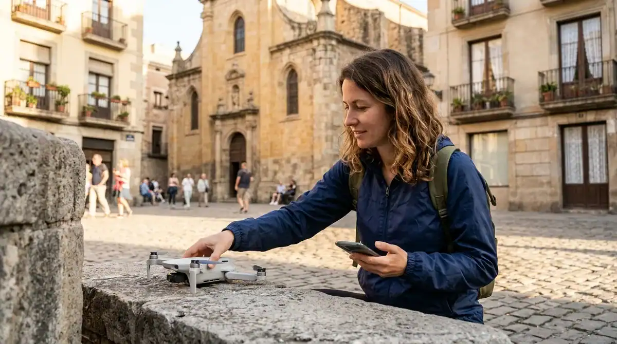
Local rules and privacy laws apply on top of national aviation rules, so a flight that clears a country’s aviation framework can still break a city ordinance, a beach bylaw or a law that protects people and private property. Travelers who check only the national rules often find that trouble comes from a local officer or a neighbor with a phone.
Local authorities have real power here. Cities, regional governments, park districts and beach managers can set limits that are stricter than the national framework, and some ban takeoffs from promenades, town squares or waterfronts altogether. These rules are usually published on the local government website, often under headings such as parks, public spaces or public property. Some are written only in the local language, so you may need a translation tool or a local contact to read them properly.
Canada shows how a visiting pilot can be treated differently from a resident. A foreign pilot flying a drone that weighs 250 grams or more needs a Canadian drone pilot certificate, even if the pilot is authorized to fly at home. Foreign pilots generally cannot register their own drones, and they may need a Foreign Special Flight Operations Certificate, known as an SFOC-RPAS, from Transport Canada. Because these approvals take time to arrange, look into them before you leave home rather than after you land in Vancouver or Montréal.
Lighter drones follow a simpler path. A drone under 250 grams does not need registration or the certificate, with one important exception. If the flight is part of an advertised event, the lighter-drone exemption may not cover you, so a small drone flown at a publicized festival can still require paperwork. Read the event listing before you assume a casual flight is exempt.
Privacy and surveillance laws are a separate issue, and they can apply even when the flight itself is perfectly legal. Recording identifiable people, especially children, can cause problems in many countries. The same goes for filming private property, such as the balcony of a guesthouse, the courtyard of a family home or the windows of an apartment across a narrow street. A market square full of vendors, a playground at the end of the day and a rented villa’s pool area all deserve a camera-free approach unless you have clear permission.
A few habits keep you on the right side of these laws. Keep the camera pointed at landscapes, architecture and open water rather than at individuals, and avoid hovering near windows and balconies. If someone asks you to stop, land the drone and stop recording right away. Fishing boats, village roads and places of worship are also worth a thought, because a buzzing rotor can disturb the people who live and work there, and some sites ask visitors to keep drones out of sight and earshot as a matter of respect.
The simplest way to avoid complaints is to ask before you fly. Contact the local tourism office, which can point you to the municipal department that handles drones, parks or public spaces. Ask the hotel front desk whether its rules cover drones on balconies and rooftops. If you are staying in a rental apartment, message the host and ask whether neighbors have objected to drones in the past. Ask specific questions: Is this beach open to drones? Do I need a permit for this square? Who should I call if an officer approaches me?
Keep a short record of your conversations. Write down the name of the office or person you spoke with, the date and the answer they gave, and keep it with your registration papers. A clear note like that is far easier to show a local official than a memory of a helpful front desk clerk.
What Happens If You Break a Drone Rule?
A broken drone rule can cost you money, equipment and time, and the exact consequences depend on the country, state and city where you flew. Penalties are not uniform, so the same flight could bring a warning in one place and a formal penalty in another.
Fines are set by the authority that wrote the rule, and that authority may be national, regional or local. Some places start with a warning for a first problem, while others move straight to a penalty. Because the amounts and procedures differ so much, the safest approach is to find the rules for each stop on your route rather than relying on what a friend once told you about flying in a neighboring town.
Equipment can also be taken out of your hands. An officer who suspects a rule was broken may seize the drone, its controller and its memory cards while the matter is investigated. Your footage may be reviewed as part of that process, and the drone may stay with the authorities until the case is closed. For a traveler, losing the aircraft in the middle of a trip can mean losing the shots you came for.
Accidents and near-misses carry their own duties. Some countries and aviation authorities expect pilots to report an incident, especially when a drone comes close to a manned aircraft, strikes a person or property, or is lost over a populated area. If a drone crashes onto a café terrace, a parked car or a stranger’s roof, the owner can face a liability claim for the damage or injury. Liability is the part of the story many visitors overlook, because it can follow you home long after the trip ends.
Insurance is where many travelers discover a gap. Travel insurance or equipment insurance may not cover a drone that is lost, stolen or damaged, and it may not cover damage a drone causes to other people or their property. Read the policy wording before you leave, and look for the exclusions section, where insurers often list aircraft or unmanned devices. If the policy is unclear, ask the insurer in writing whether drone losses and third-party claims are included, and keep the reply with your travel documents.
Ground-level photography avoids most of these risks, and it often produces stronger pictures than a drone would. A harbor at low tide, a market stall heaped with spices, a stone bridge framed by plane trees or a fishing village with nets drying on the wall can all be shot from the street with a wide lens or a phone on a small tripod. Walk the scene at different times of day, and let the light and the crowd guide your frame. When flying is not worth the risk of a fine, a confiscated drone or a claim, the ground is often where the best story is waiting.
Packing Drone Batteries Without Trouble
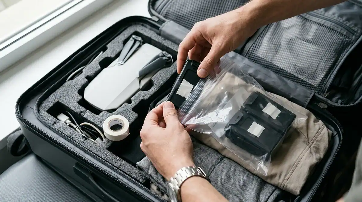
Spare lithium-ion batteries must travel in your carry-on bag on U.S. flights, never in checked luggage. Batteries are the part of your drone kit most likely to slow you down at security, so sort them at home rather than at the airport. Start by finding the watt-hour rating printed on each battery’s label. If the label lists only volts and amp-hours, multiply the two numbers to get watt-hours.
The rating decides which group a battery falls into. Under the FAA’s guidance for air travelers, spare batteries up to 100 watt-hours are allowed in your carry-on. Spares rated from 101 to 160 watt-hours need airline approval, and you can bring no more than two per person. Batteries over 160 watt-hours are forbidden, so leave them at home. Write the 100 and 160 watt-hour lines on a card and keep it in the same folder as your other paperwork.
- Up to 100 watt-hours: allowed in carry-on with no extra approval
- 101 to 160 watt-hours: airline approval required, two spares maximum
- Over 160 watt-hours: not allowed on the flight
If you need to carry batteries in the middle group, contact the airline well before departure. Ask how the approval is requested and what documentation you should keep with you. Approval is a separate step from booking, so do not assume a ticket confirmation covers your batteries.
Protecting the terminals is the simplest way to prevent trouble in transit. A short circuit can happen when a metal contact touches a coin, a key, a loose cable or another battery. Put a strip of tape over each exposed terminal, or keep each battery in its original packaging or a dedicated battery case. A case with individual compartments works best, because each battery sits in its own slot and cannot roll against the others.
Think about how the bag will be packed. Keep the batteries together in one clearly marked pouch, and place that pouch where you can reach it easily during the flight. Avoid tossing batteries loose in a jacket pocket or a camera bag full of cables. Store them away from direct sun, and never leave them in a parked car on a warm day, because heat is one of the fastest ways to damage a battery.
Check airline rules before you travel, because carriers can set limits that are stricter than the federal framework. Look at the airline’s policy page for lithium batteries, and call or message customer support if anything is unclear. Ask specific questions, such as whether your airline accepts 101 to 160 watt-hour spares on your route and what it expects you to show at the gate. Your answers will tell you exactly how to pack the drone before you reach the airport.
Your Pre-Departure Drone Checklist
Start by weighing your drone. Put the aircraft on a kitchen scale with its battery and propellers attached, and write the figure on your checklist beside the 250-gram line and the 0.55-pound line. That one number decides which rules apply to you, so settle it before you book anything else.
Next, open the official rules page for your first stop. Search for the city or park name followed by “drone rules,” and read the whole page, looking for bans on takeoffs from beaches, squares and waterfronts. If Canada is on your route, check whether your drone is under 250 grams, because a heavier drone flown by a visiting pilot needs a Canadian drone pilot certificate. Save a screenshot of each page in case the site changes while you travel.
Then assemble one folder with a single sheet listing every country on your route, your registration details, your TRUST completion proof, the watt-hour rating of each battery and the phone number of the local tourism office. Keep a printed copy in your carry-on.
Finally, ask your airline about any spare battery between 101 and 160 watt-hours well before you leave, because approval is a separate step from booking. Then reserve one flight-free morning on your itinerary for ground-level photography at a harbor or market, so a stricter rule than you expected never leaves you with nothing to shoot.