
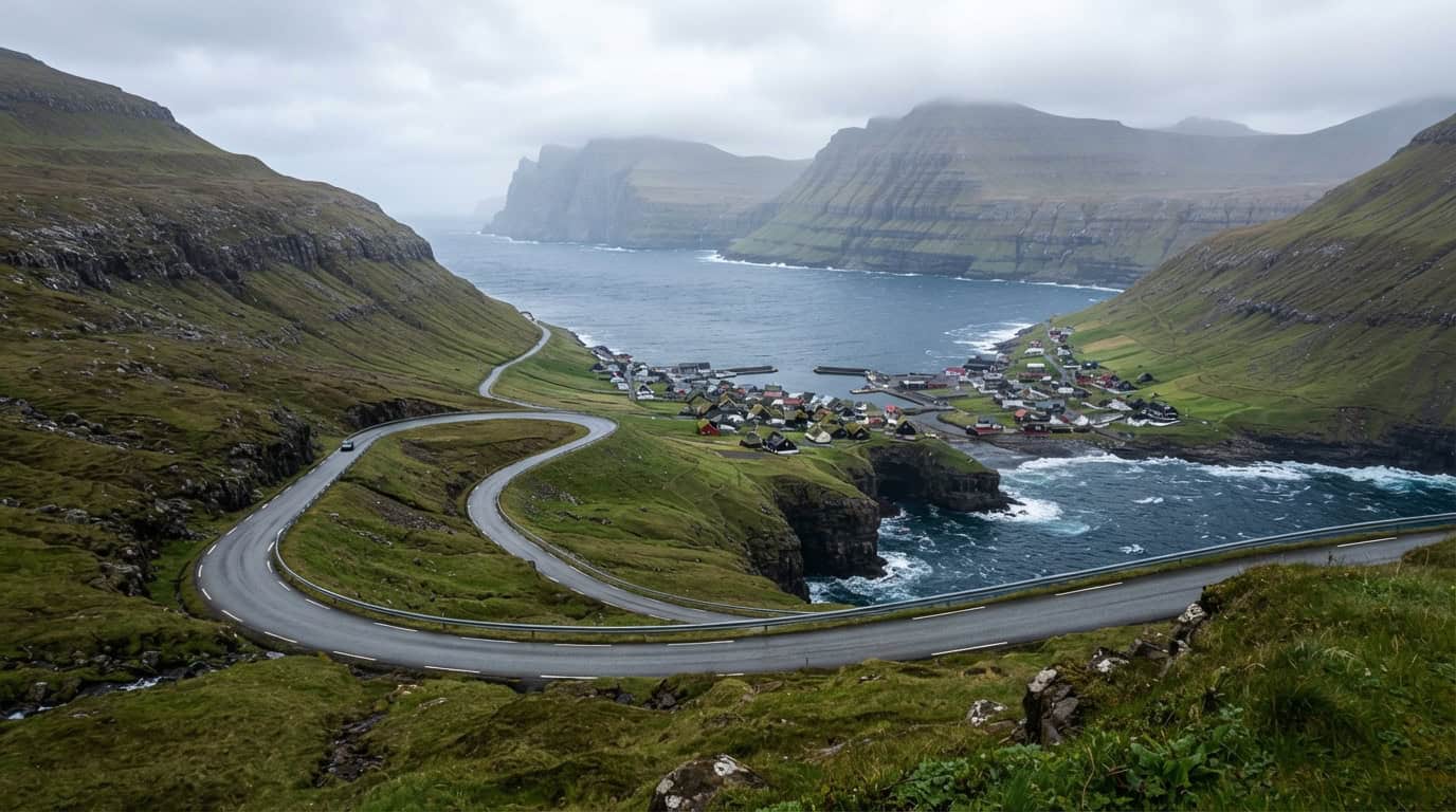
A well-planned Faroe Islands itinerary turns seven days into a sweeping adventure through misty cliffs, turf-roofed villages, and wind-carved coastlines. I’d begin on Vágar with Bøur and Gásadalur, then travel east toward Streymoy, Eysturoy, the northern villages, and Tórshavn. Six nights give me enough time for scenic detours, ferry connections, and the occasional weather delay.
I’d visit between May and September, when long daylight hours make it easier to hike, cruise beneath towering sea cliffs, and explore remote islands. Even in summer, conditions can change within minutes, so I’d keep each day flexible and pack waterproof layers. With a balance of structure and spontaneity, this route showcases the Faroes at their most dramatic and memorable.
Key Takeaways
- A seven-day Faroe Islands route should begin on Vágar, continue through Streymoy and Eysturoy, explore the northern islands from Klaksvík, and finish with flexible time in Tórshavn.
- Plan around changing weather rather than a rigid schedule: keep exposed hikes, viewpoints, and ferry trips flexible, and use village walks, museums, or safer scenic drives during poor conditions.
- Travel between May and September—especially late May through August—for longer daylight and better access to hikes, boat trips, and remote islands, while still packing waterproof layers for sudden wind, rain, and fog.
- Reserve ferries, check tunnel and road conditions, confirm hiking access, and allow extra time for narrow roads and weather delays; splitting stays between Vágar, the central islands, and Tórshavn can reduce driving.
Days One And Two On Vágar
I’ll begin my Faroe Islands itinerary at Vágar Airport, where steep mountains, open water, and shifting clouds immediately create a dramatic first impression. After collecting a car, I’ll drive to Sørvágur for a gentle introduction to island life, then continue to Bøur, a tiny village overlooking Tindhólmur and the western sea. From there, the road leads to Gásadalur, one of the Faroes’ most memorable villages, where Múlafossur waterfall plunges into the ocean. I’ll allow extra time for photographs because changing light can transform the cliffs and waterfall within minutes. A short visit fits comfortably into the first afternoon, but I’ll drive carefully and avoid rushing along the narrow, winding roads.
I’ll keep the second day flexible for the Trælanípa and Bøsdalafossur hike, choosing it only if the forecast offers clear visibility and manageable wind. The trail crosses rugged terrain to Trælanípa, a cliff above Lake Sørvágsvatn, before continuing toward Bøsdalafossur, where freshwater drops into the Atlantic. I’ll wear waterproof layers and sturdy hiking shoes, check local conditions before setting out, and remember that fog can hide cliff edges and make navigation more difficult. If the weather closes in, I’ll spend the day taking a slower drive around Vágar, revisiting Bøur or Sørvágur, and enjoying safer viewpoints instead. In the Faroes, flexibility is part of the adventure, not a backup plan.
Staying in Vágar makes these early excursions easier and gives me more time to respond to changing conditions. I could continue to Tórshavn after exploring Gásadalur, especially if I want to use the capital as a base for the rest of the trip, but I’ll avoid arriving late after a full day on the road. Spending two nights on Vágar is the calmer option for hikers and photographers, while moving on after the first night works well for a tightly paced seven-day itinerary. Either way, I’ll check driving times, fuel, parking, and any hiking access requirements in advance. I also want to leave room for unexpected pauses when a sea cliff, village roofline, or sudden break in the clouds captures my attention.
Days Three And Four Around Streymoy And Eysturoy
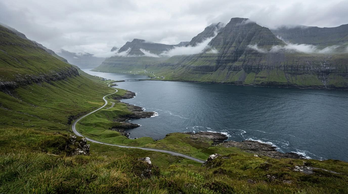
I’ll spend Day Three easing into Streymoy with a morning in Tórshavn, where colorful harbor buildings, narrow lanes, and cafés offer an easy start after the longer drives of the previous days. From the capital, I’ll head south to Kirkjubøur, a historic village known for its medieval church, old farm buildings, and wide views across the water. I’ll return to Tórshavn for the night, keeping the schedule flexible if rain or strong winds change my plans. I’ll also leave extra time for photo stops because even a short drive can take longer when mist rolls over the hills or a break in the clouds reveals the coastline.
Day Four follows Streymoy’s scenic roads north toward Saksun and Tjørnuvík before crossing to Eysturoy and the village of Gjógv. In Saksun, I’ll walk among the turf-roofed houses and, when conditions and tides allow, take the short route toward the lagoon for views of the dramatic valley and surrounding mountains. Tjørnuvík is a rewarding stop for its black-sand beach and striking views of the sea stacks, while the road offers frequent opportunities to pull over safely for photographs. After crossing to Eysturoy, I’ll explore Gjógv’s natural harbor and take a short village hike. I’ll spend the night nearby or continue to a booked base that reduces the next day’s driving.
For this part of my Faroe Islands itinerary, I’ll treat the route as a framework rather than a strict timetable because winding roads, fog, rain, and wind can quickly reshape the day. I’ll check road conditions and local access before setting out, allow generous time between stops, and avoid rushing along narrow roads for a sunset photograph. Waterproof layers, sturdy walking shoes, and offline directions make the short hikes and remote viewpoints more enjoyable. If the weather closes in around Saksun or Gjógv, I’ll slow down, focus on Tórshavn or Kirkjubøur, and save the exposed viewpoints for a clearer window.
Days Five And Six In The Northern Islands
Klaksvík makes a dramatic base for Days Five and Six, with steep mountains rising around its harbor and ferries connecting the northern islands. I’ll start Day Five by taking the ferry from Klaksvík to Kalsoy, checking the latest timetable in advance and arriving early because space for cars and foot passengers can be limited. From Syðradalur, I’ll drive or arrange transport to Trøllanes, then follow the Kallur Lighthouse trail across open, rugged terrain to sweeping views of sea cliffs, Risin og Kellingin, and the tiny lighthouse above the ocean. Wind, rain, mud, and low cloud can change the experience quickly, so sturdy footwear, warm layers, food, and enough daylight are essential.
After the hike, I’ll return to Klaksvík and use Day Six for a scenic drive toward Viðareiði, one of the Faroe Islands’ most striking villages, set between dramatic mountains and the sea. The route passes through long tunnels and along narrow roads, so I’ll learn the tunnel system, allow extra time, and avoid rushing when visibility or weather deteriorates. I love stopping at safe viewpoints to photograph isolated homes, dark cliffs, and changing light over the water, but I’ll always keep clear of unfenced edges and private driveways. If rough seas disrupt ferry connections to Kalsoy, Kunoy offers a rewarding alternative, with peaceful village scenery, mountain roads, and wide views across the northern fjords.
Because the northern islands depend heavily on ferries and fast-changing conditions, I’ll keep the itinerary flexible rather than planning every hour. I’ll confirm ferry departures, road access, and hiking conditions the evening before, while leaving room to switch the Kalsoy and Viðareiði days if the forecast improves. For photographers, early morning or late evening usually brings the softest light and fewest distractions around the villages, although cloud can make the cliffs feel even more dramatic. Careful planning and a little patience give me the best chance of experiencing the north at its wildest and most memorable.
Day Seven And Flexible Faroe Planning
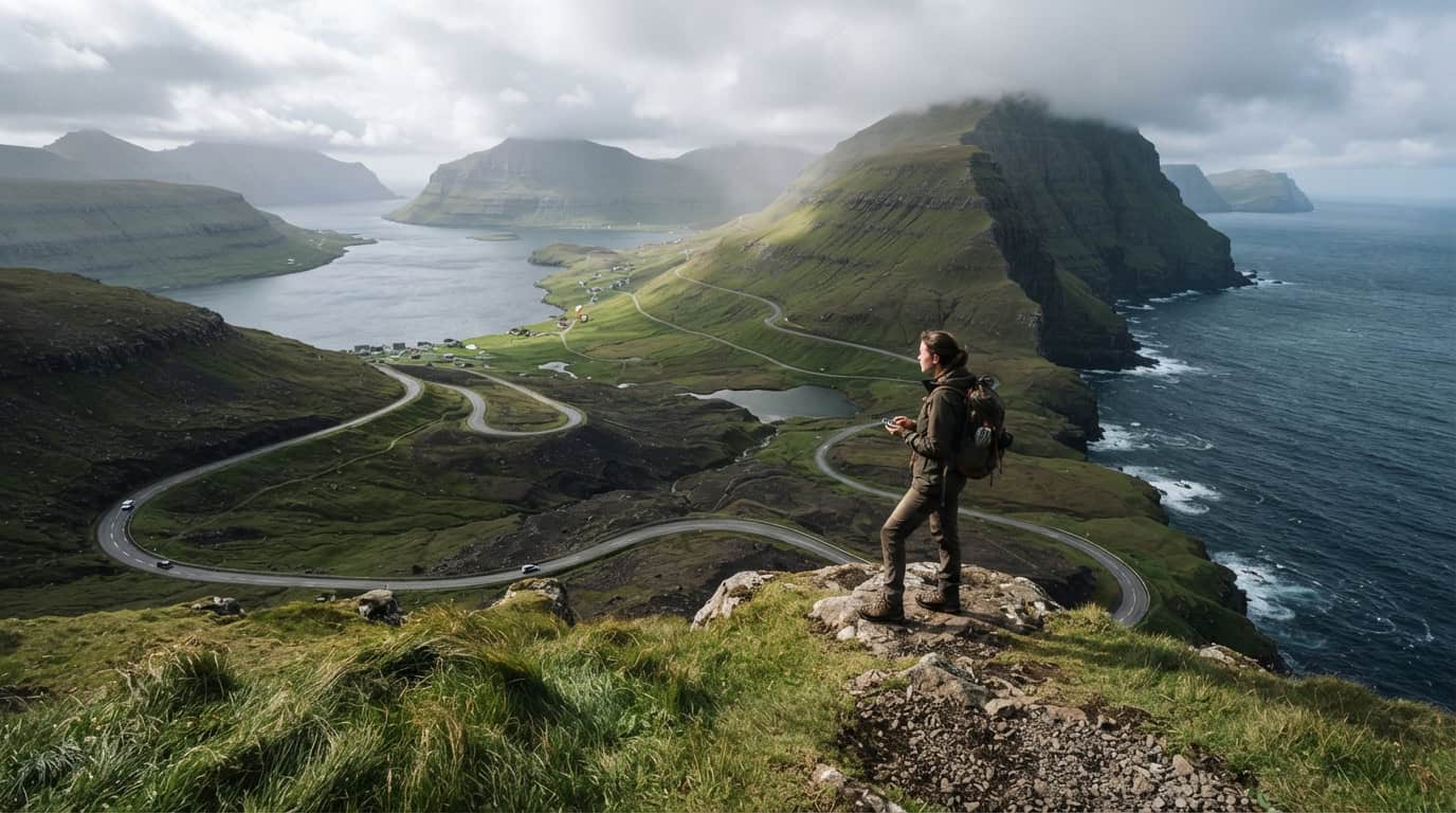
I’ll keep Day Seven deliberately flexible, beginning with a slow morning in Tórshavn’s old town, where colorful waterfront buildings, narrow lanes, and harbor views make an easy final wander. If the weather is calm and the ferry schedule works, I’ll take the short trip to Nólsoy for a village stroll and a fresh perspective across the water. Otherwise, I’ll revisit a missed highlight, such as a scenic viewpoint, a quiet northern village, or a coastal walk hidden by fog earlier in the week. By afternoon, I’ll drive back toward Vágar Airport, allowing plenty of time for changing road conditions, photo stops, and the journey to my final overnight stay.
For a first Faroe Islands itinerary, I find May through September the most rewarding travel window, with long daylight hours and better access to hiking trails, boat trips, and remote islands. Late May through August is especially appealing for photographers and hikers, although summer conditions can still shift from sunshine to wind and rain within minutes. I’ll build in at least one flexible half-day, keep ferry-dependent plans changeable, and avoid scheduling a demanding hike immediately before a flight. That extra breathing room has often turned a foggy morning into a memorable afternoon among dramatic sea cliffs.
Where I stay depends on the route, but splitting nights between Vágar, the central islands, and Tórshavn can reduce driving and make early departures easier. I prefer a rental car for scenic drives through Streymoy, Eysturoy, and Vágar because it lets me pause at remote villages, waterfalls, and viewpoints whenever the light changes. A guided excursion makes more sense for boat-accessed cliffs, small islands, or hikes where local knowledge and weather judgment add real value. Before leaving, I’ll check tunnel and ferry arrangements, confirm parking rules, and keep time in reserve for the unexpected moments that make a Faroe Islands itinerary unforgettable.
My Seven-Day Faroe Islands Route
This seven-day Faroe Islands itinerary begins on Vágar, where I would spend the first day exploring Sørvágur, the tiny village of Bøur, and Gásadalur beneath its waterfall and dramatic sea cliffs. On Day Two, I would walk toward Sørvágsvatn and Trælanípa, then leave time for changing light over the ocean or a boat trip beneath the cliffs if conditions allow. Days Three and Four lead across Streymoy and Eysturoy, with stops in historic Kirkjubøur, peaceful Saksun, windswept Tjørnuvík, scenic Eiði, and the harbor village of Gjógv. I would reserve Day Five for the northern islands, traveling to Klaksvík and, weather permitting, taking the ferry to Kalsoy for the walk toward Kallur Lighthouse and the views near Mikladalur. The final two days balance a flexible weather day with time in Tórshavn, where I would wander the old lanes of Tinganes, browse local shops, and enjoy a relaxed meal before departure.
The route works best over six nights because it gives me enough time to experience remote villages and scenic drives without making every day depend on a perfect forecast or precise ferry connection. I would plan longer hikes, boat excursions, and exposed viewpoints for the clearest mornings, while keeping museums, village walks, and Tórshavn available for rainy spells. Summer, especially from late May through August, brings long daylight hours and generally easier access, but Faroese weather can change from sunshine to fog and wind within minutes. Checking road conditions, ferry schedules, tunnel rules, and local hiking guidance each evening would help me adjust the following day with confidence. A flexible plan is not a backup in the Faroe Islands. It is part of the adventure.
What I remember most from a Faroe Islands itinerary is rarely the number of places I managed to visit. Instead, I remember the moments when I slowed down and followed my curiosity. I might linger above a sea cliff while clouds move across the water, pause for coffee after a quiet village walk, or take an unplanned turn toward a viewpoint glowing in a brief break of sunlight. Leaving room for these spontaneous discoveries makes seven days feel less like a race and more like an invitation to notice the islands. The Faroe Islands reward patience, curiosity, and a willingness to change plans when the weather shifts. If I return, I would keep the same route, but I would leave even more space to wander.